|
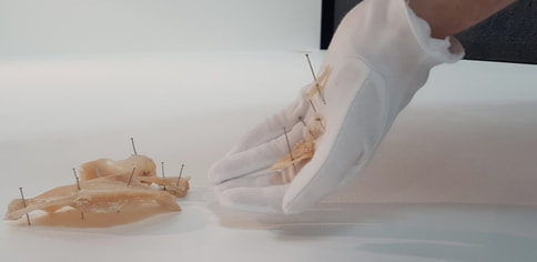
Digitalisation seemingly supersedes values attributed to viewing the world with the naked eye. My creative practice-led research is driven by the impact of digital technologies on how we view the world. With ubiquitous digital technologies the visualisation and re-imaging of the world is rapidly changing. The danger being a dead level of mediocrity in viewing the copy or replicated part especially if the real deteriorates to the point that it leaves no trace. To convey a sense that existence is momentary, but our impact in and on a unique wetland site is not, I investigated data and temporal dimensions of human interference at Lake Walyungup.
When the Lake water was at its lowest, drone footage revealed a cratered limestone surface and protruding remains of fossil stromatolites. I queried whether the cratered lake surface might be in some way a result of the Lake falling within the WWII Rockingham Artillery Range impact area? Deep and shallow scanning to determine Unexploded Ordinance (UXO) boundaries adjacent to the Lake has left the Lake potentially, and perhaps conveniently an un-scanned area for UXO. Drone technology honed my response to being in this place, provoking a different way of thinking; asking what might be the significance of digital data informed by Lake Walyungup mean in the material sphere? Questioning these localised ‘craters’ in the land led to the uncovering of political interventions and bureaucratic red tape, obscuring the ‘below ground’ with the multiple shifts of the physical and historical control of the Lake’s land use. Visiting this now UXO polluted land, had revealed what might be absent or present underground; my work becomes a metaphor for conflict, with its ever changing surface and subsurface, undetected, where unknown ‘secret’ information exists in a coded form. |